Maple Canyon
A Different Side of Bankers Hill, Below the Bridges

Greg Ross
CEO / Owner - Nancy's Vacation Rentals
San Diego Hidden Gems
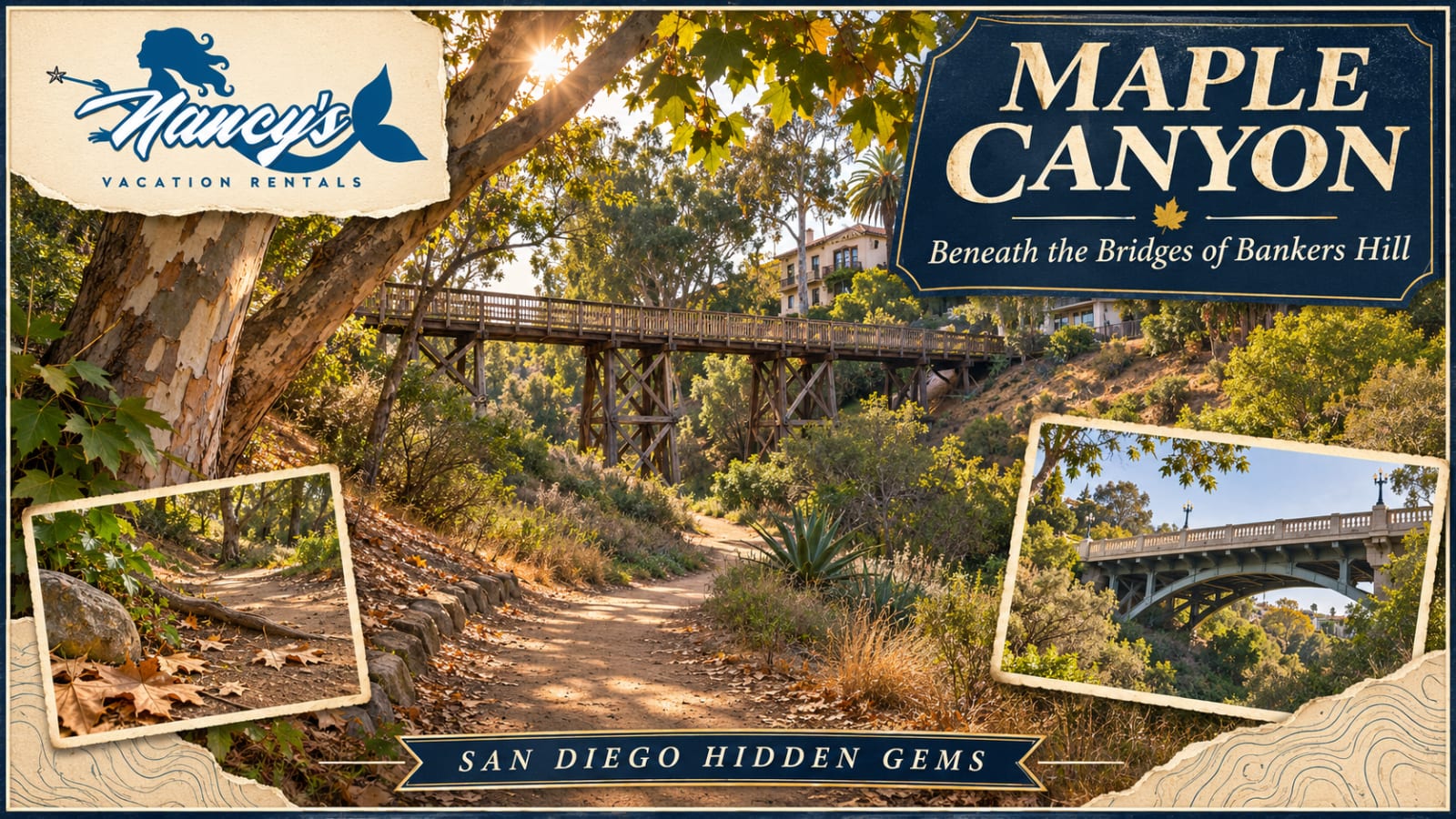
Maple Canyon: A Different Side of Bankers Hill, Below the BridgesBankers Hill makes sense from the sidewalk: homes, intersections, restaurants and streets leading toward Balboa Park. Look over the edge of a bridge, though, and another layer appears. A canyon runs below the neighborhood, with a trail threading through the landscape beneath the street grid.
That is Maple Canyon’s appeal. You can spend part of a San Diego day looking at the city from a completely different level, then return to the neighborhood for lunch.
There is an important planning detail: this canyon has undergone substantial drainage and restoration work. Check current access before making the hike your main outing, and treat posted closures as the final word.
Start With the Canyon, Rather Than a Bridge Checklist
Maple Canyon is part of the City of San Diego’s open-space system. The City publishes a dedicated trail map showing the canyon among Bankers Hill streets, with bridges crossing above the trail.
Our guides to the Quince Street Bridge and Seven Bridges Walk explore those neighborhood connections. For this outing, make the landscape below them the destination.
Instead of counting crossings, notice the slope of the land. Look at how the path follows the canyon and how buildings occupy its edges. It is an opportunity to understand the neighborhood through its terrain, with the surrounding city still very much present.
Bring the Official Map, With Its Limitations in Mind
Before leaving, open the City’s Maple Canyon Open Space Trail Map. Identify a designated trailhead and the route you intend to follow, rather than relying on a shortcut that happens to appear on a phone screen.
The PDF is dated 2016. It is useful for orientation, but it predates recent restoration work and cannot confirm today’s access. The map itself also warns that some paths encountered in the field do not meet trail standards.
That distinction matters in a residential canyon. A gap between properties, an erosion track or a path toward a bridge support is not automatically a public route. Stay with designated access and current signs.
The Canyon Does an Important Job When It Rains
Maple Canyon is also a drainage corridor. In its account of the restoration, project engineer RICK explains that runoff from more than 100 acres of surrounding neighborhood collects here before continuing toward San Diego Bay.
The firm describes deteriorating storm drains, erosion and sediment problems that required a coordinated response. Work included replacing failing drainage systems, stabilizing the channel, adding native vegetation and improving the trail. Its project account also describes two added pedestrian bridges.
Knowing that changes how you look at the canyon floor. A stone-lined section or a structure in the channel may have a purpose beyond its appearance. This is a landscape where recreation, neighborhood drainage and habitat protection have to coexist.
Check Access Before You Go
As of our November 2, 2026 research check, the City’s climate-action dashboard still identifies Maple Canyon restoration as being in the construction phase. That does not establish that every trail is closed, but it also does not confirm unrestricted access.
Consult the City’s waterways restoration update and ask Parks and Recreation about current trail conditions if your plans depend on entering the canyon. The City lists 619-235-5262 for its Park Ranger office on its open-space rules page.
If a designated entrance is blocked, change the plan. A neighborhood walk or a visit to Balboa Park can still make a good afternoon. Save the canyon for a day when the intended route is available.
Make It a Flexible Walk
For an open, dry route, we would plan a modest out-and-back rather than commit to an improvised loop through unfamiliar streets. Choose a turnaround point that fits your group, leave time for the return and remember that descending into a canyon can mean climbing back out.
Wear walking shoes with traction and carry water. Do not assume an urban location means a paved or step-free trail. Anyone needing a reliably accessible surface should confirm the specific route with the City before visiting.
The City specifically identifies Maple Canyon as an option for dog walking, with dogs required to remain on leash. Bring waste bags and enough water for your companion, and keep the leash close when passing other trail users.
Choose Daylight and Dry Ground
This is a daytime outing. The City’s open-space rules close these parklands from sunset to sunrise, so allow enough daylight to return without rushing.
Plan for dry weather and postpone the walk if the trail is muddy, flowing with water or affected by storm damage. A drainage canyon deserves particular care during and after rain. Never walk around a barrier to keep an itinerary on schedule.
Stay on designated trails, leave plants and wildlife undisturbed, and carry out everything you bring. Respect nearby homes when parking or taking photographs. The neighborhood is part of the experience, and residents should not have to accommodate a visitor’s shortcut.
A Small Outing That Adds Another Layer to San Diego
Pair the walk with coffee or lunch in Bankers Hill, or give Balboa Park its own portion of the day. Keeping the schedule loose leaves room for an interesting view, a slower return or a change in trail access.
Nancy’s Vacation Rentals has helped guests explore San Diego for more than 25 years. We enjoy pointing travelers toward places that deepen their sense of the city, including the canyons between its streets. Explore Nancy’s San Diego vacation rentals and leave a little room in your stay for a neighborhood discovery.